| Using our two dories, all participants
made it to shore after morning chores for a
wonderful morning. Many commented how impressive
it was to view the Ernestina out at anchor from
the beach. A beach clean
up service project resulted in three full bags of
garbage. A lot of styrofoam, fishing line and
rope, and plastic containers, fragments and bags,
aluminum cans and a few tires.
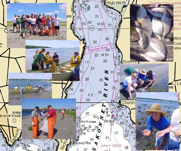
Participants walked the salt
marsh and talked and observed the fragile
ecosystem, observing birds, fish, flora and
fauna, and geology. Chelsea facilitated
observation and discussion of shoreside critters
including crabs, mussels, seaweed, killifish,
etc.
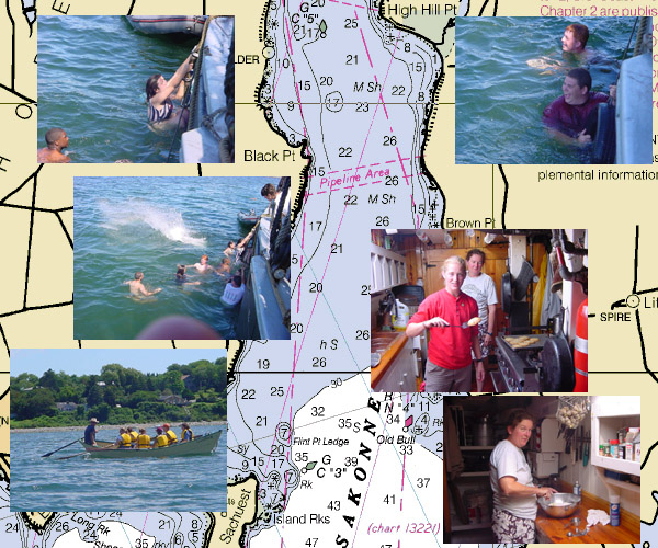
Kenny had lunch ready when
everyone returned to the ship, a little time for
digestion and the hot sun beckoned us into the
water for a swim call.
Our goal for the next day was
to have the students run the ship. That is,
organize themselves, haul back the anchor, set
the sails, navigate to our destination and anchor
the boat, with minimum input from the crew. In
fact, the crews' only role was to monitor safety
and be available to answer yes or no questions.
The goal for the next evening was for each watch
to perform a skit with the ship's history as the
theme.
With everyone dried off after
swim call, and the plan made, all watches busied
themselves for the rest of the day planning,
practicing, and asking lots of questions. Water
sampling data was analyzed, and after dinner the
students held a “pin chase” race in the
dark making sure everyone knew their lines.
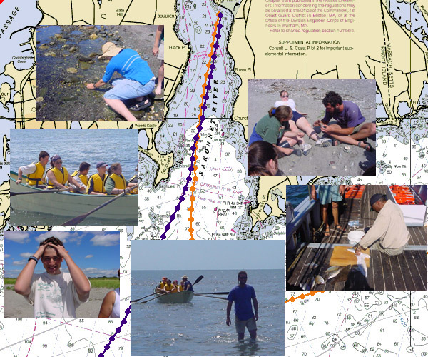
Below are the results from the
water sampling:
Participants took samples for water quality
testing as they passed through the different
bodies of water. Thomas Creehan, an Upward Bound
student from the University of Maine, Orono,
compared the results from two of our samples; one
taken 8/14 in the Taunton River and one taken
8/17 at High Hill Point, Sakonnet River. High
Hill Point, Sakonnet River was more salty (30
ppt) than the Taunton
River (27ppt). The Taunton River was less salty
because of fresh water from the river and because
we were farther from the ocean than High Hill
Point. The pH was lower in the Taunton River (7.6
vs 8.2) which is expected because of fresh water.
The dissolved oxygen was less in the Taunton
River (5.5 vs 7.1) which may be due to increased
nutrient loading, less surface mixing in the
enclosed water of the river or more
photosynthesis at High Hill Point. The
temperatures were the same (21C) which is normal
for this time of year. The decreased amount of
dissolved oxygen in the Taunton River would make
it an unfavorable environment for organisms. High
Hill Point would be a more favorable environment
for aquatic organisms.
Wind: SW Light
Visibility: Excellent
Captain: Amanda
Madeira
Program Coordinator: Inette Rex
|
|


