| Schooner
Ernestina set sail from the dock at Tonnessen
Park today with Boy Scouts from Reading, MA
aboard for their second day. After an eventful
night in the howling gale encamped at the base of
a Civil War-era fort (what time do the sprinklers
come on at Fort Taber Park?) the Scouts were down
at the dock bright and early for breakfast and
then a 0900 departure for a day of sailing. This
time the weather cooperated for an incredible
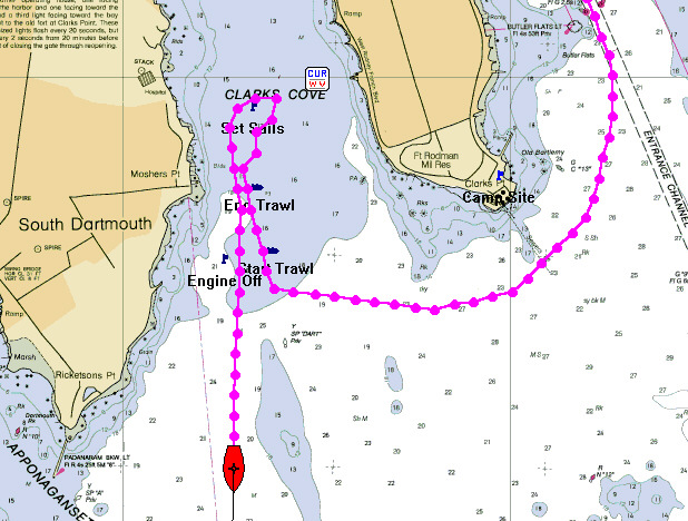
day.... We set the fores'l as we departed New
Bedford Harbor and motored over to Clark's Cove
to set the trawl net in 20 feet of water along
the west shore protected from the NW'ly wind.
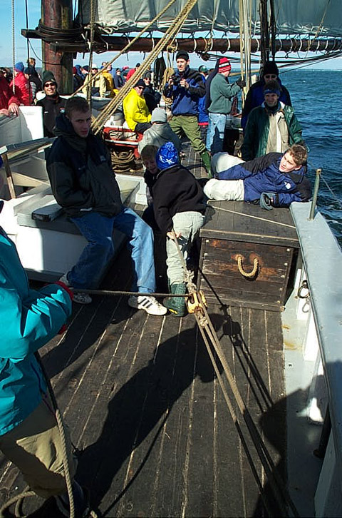
As the trawl net was stowed all hands turned
next to setting the single-reefed mains'l, jumbo
and jib and we turned the head of the ship toward
the South and the Elizabeth Islands. Quicks' Hole
lay dead ahead as we flew across Buzzards Bay on
the brisk but moderating breeze.
Just before lunchtime we tacked ship off Lone
Rock and turned for the Harbor once more. You can
see the overall track on the chart image to the
right along with close ups of the trawl in Clarks
Cove and the tack.
Great job by all aboard! It was an eventful
weekend....
Program Coordinator: Steve Kirk
Captain: Gregg Swanzey
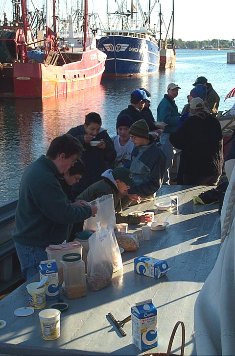
Breakfast at dockside.
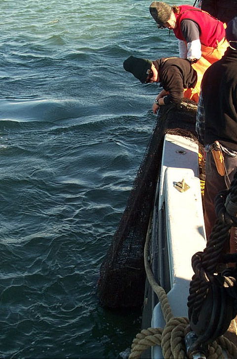
The trawl comes up full out of Clarks Cove.
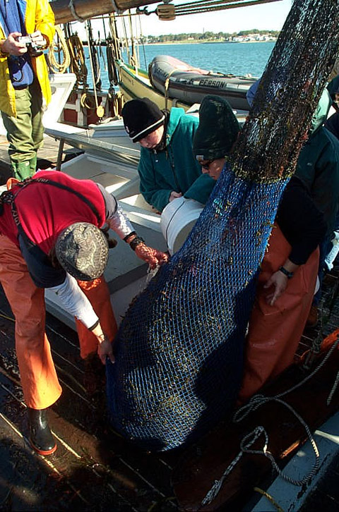
It takes the ship's rigging to get the trawl
aboard and buckets of water to keep the critters
alive. After the station is over everythng goes
right back into the sea.
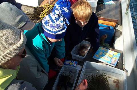
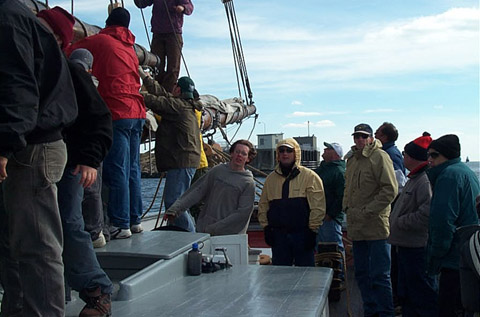
Everyone gets a close look during the learning
stations. A bubbler keeps the water oxygen-rich
as scouts take a look at the catch.
|
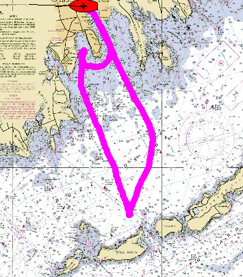 New Bedford around Clarks Point,
across Buzzards Bay to Lone Rock off Quicks' Hole
and back along the entrance channel to New
Bedford State Pier.
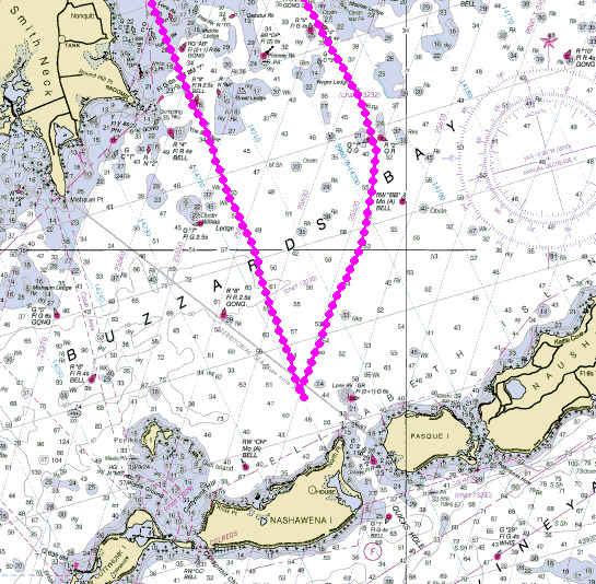
Tack ship off Lone Rock.
All haul away to raise sail after the trawl is
aboard.
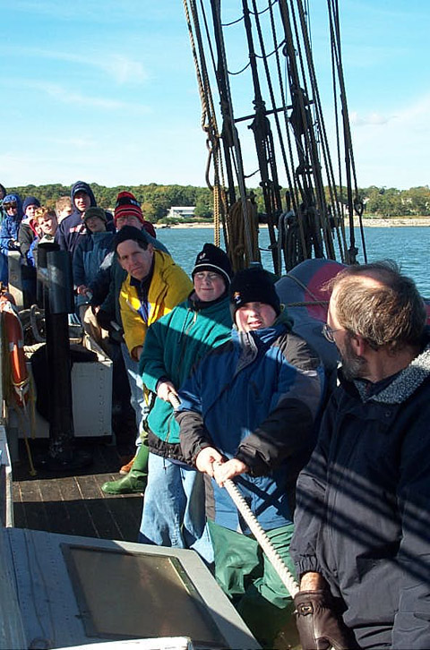
Tug of war! with an advantage....
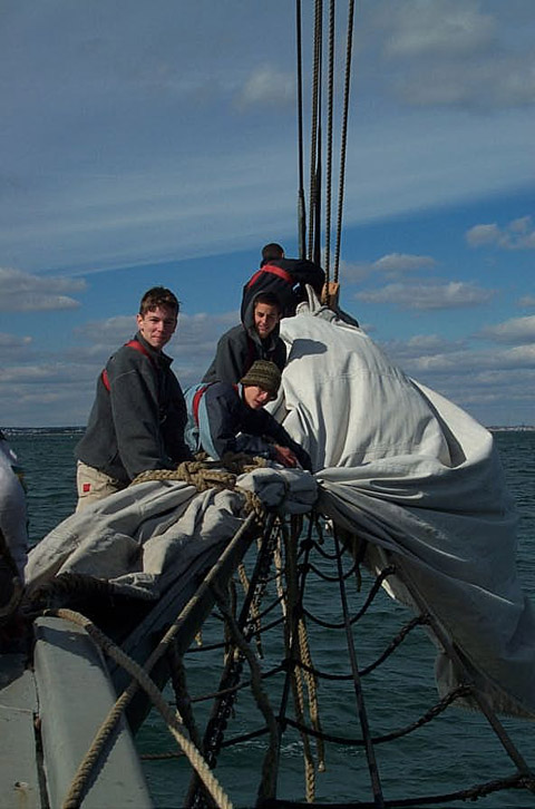
Out on the bowsprit furling the jib.
Drew had the helm on the approach, coming
through the Hurricane Barrier and all the way to
the dock. Great job!
|


