|
On June 9, the Ernestina
sailed with eighth graders from Fairhaven's Hastings
Middle School science club for the marine environment
component of a Southeastern Environmental Education Alliance
(SEEAL) sponsored program they are participating in. It is one
of four legs in a "Watershed Expedition" that also
puts students in Whale Boats with the Whaling City Rowing
Club, Canoes with the Lloyd Center for Environmental Studies
and on the trail with the Coalition for Buzzards Bay all
coordinated by the program coordinator for the Westport River
Watershed Alliance.
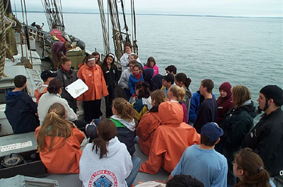
We departed the State Pier, raised all
four lower sails and continued out of the inner harbor into
Buzzards Bay.
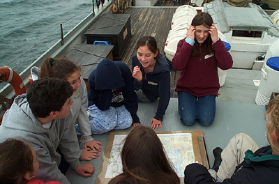
The students moved in small groups around
the boat learning about the marine ecosystem by studying plankton,
navigation, the history of the Ernestina and water quality.
They also got the chance to steer at the helm and stand
at look out.
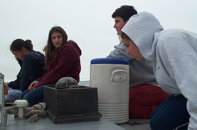
In the afternoon, we set the otter trawl,
hoping to take a look at the organisms that live at on the
bottom of the bay. After a lot of work hauling back,
everyone was able to observe shrimp, small arthropods, various
seaweeds, crabs, gastropods and tube worms.
We returned to the New Bedford inner harbor,
struck sail and docked, ending a full day out on the water. Program Coordinators:
Kristen Sharpless
Captain: Willi Bank

SEEAL
operates under the auspices of the Community
Foundation of Southeastern Massachusetts. This project has
been funded, in part, by the Massachusetts
Environmental Trust. 
|
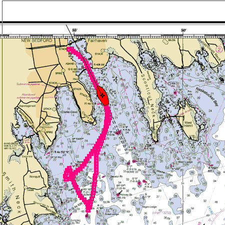
Here is the track of the ship
at the point of returning to New Bedford Harbor with Butlers
Flat Light just aft on the port side.
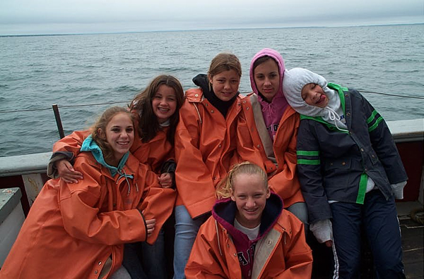
Hanging out on the Bay. The
Elizabeth Islands are in the background.
|
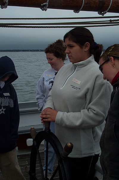
At the helm. Students come
aboard and take charge on the ship.
|
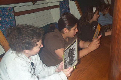
An historical tour through
photos. What is the right order?
The standard compass on the
forward end of the deckhouse is great for getting bearings on
landmarks.
|